Playing with technology while I should be working -- uploaded some bike routes from my bike GPS (Garmin) unit to motionbased.com which provides analysis of the ride (speed, elevation, average this and that, plus more I haven't figured out yet). Then exported one of the rides to Google Earth so that it gets overlayed on top of the amazing Google Earth visuals. Then saved a couple of different .jpg's to upload to the blog.
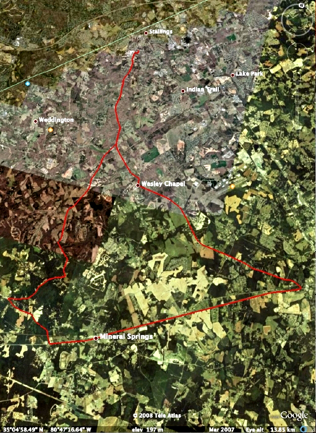
This is an overview of the 32 mile ride, leaving from my house in Stallings, east through Mineral Springs over to Monroe, north through Wesley Chapel, then back to Stallings:
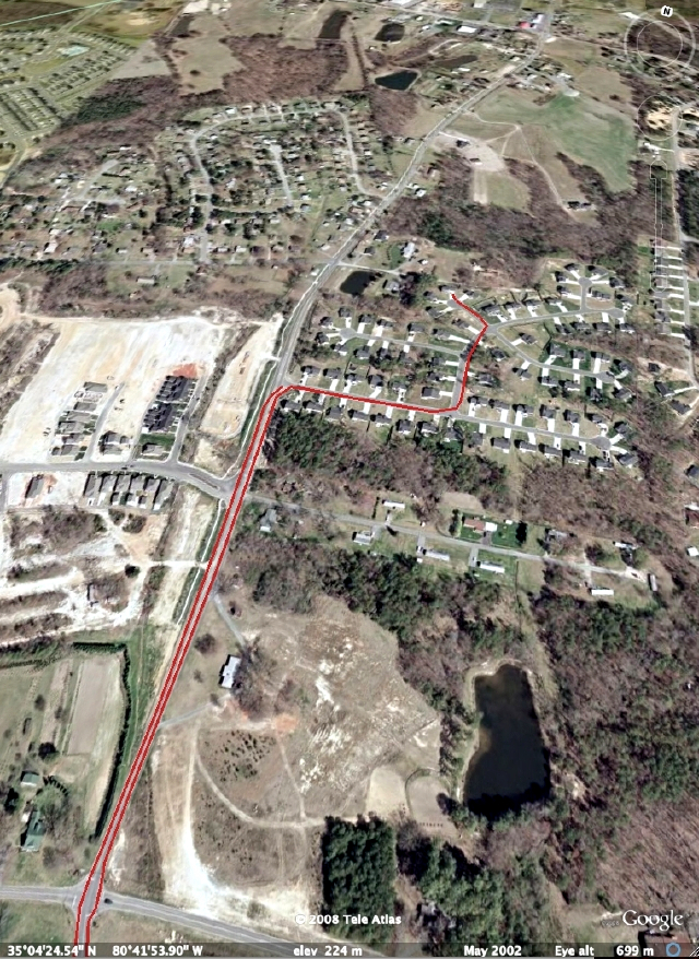
This is a "perspective" (slanted backwards) in Google Earth showing a close-up of the bike route leaving my driveway, out the subdivision, down Potter Road, then coming back on the opposite side of Potter Road, back into the subdivision, back to my house. The GPS differentiates riding on either side of the road, a difference of 20 feet or so:
Pretty cool stuff. Now, back to work.
This is an overview of the 32 mile ride, leaving from my house in Stallings, east through Mineral Springs over to Monroe, north through Wesley Chapel, then back to Stallings:
This is a "perspective" (slanted backwards) in Google Earth showing a close-up of the bike route leaving my driveway, out the subdivision, down Potter Road, then coming back on the opposite side of Potter Road, back into the subdivision, back to my house. The GPS differentiates riding on either side of the road, a difference of 20 feet or so:
Pretty cool stuff. Now, back to work.


No comments:
Post a Comment